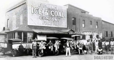
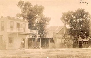
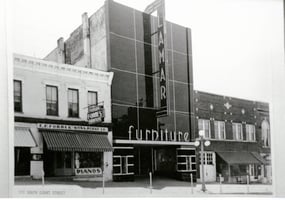
Florence Ice & Coal Company opened in early 1903 and was located on Aetna Street in East Florence...
Original Florence Street Car Route
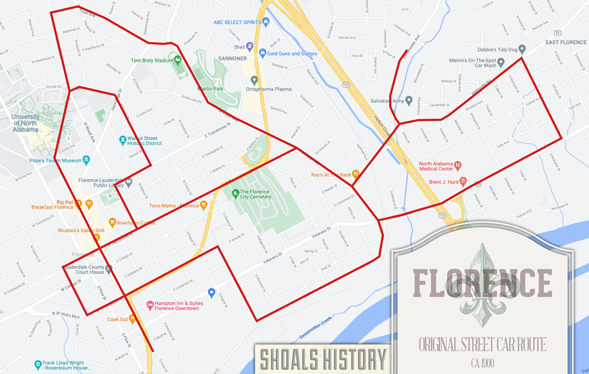 CIRCA 1900 —
Beginning at the Southern Railway depot at the foot of Court street the line ran:
- Up Court to Sweetwater,
- West to Cedar,
- North to Tennessee,
- East to Court,
- North on Court, Morrison, and Wood Avenues to Lelia street,
- East to Royal Avenue,
- South along Royal and Huntsville Road out to Main street,
- South to Union Street, then
- West on Union to Royal Avenue and
- Up Royal Avenue again to Huntsville Road.
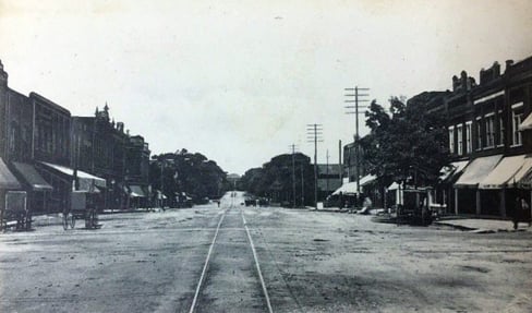
- A branch ran up Sweetwater Avenue to the Cherry Cotton Mills.
- Beginning at the intersection of Royal Avenue and Union Street, the line ran:
- Up Terrace Street to Cherry Street,
- North to Sweetwater,
- West to Court Street,
- North to Tennessee,
- East on Tennessee to Royal Avenue,
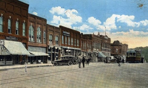
- Another line began at the intersection of Market (now Wood) and Tennessee and ran
- Up Market to Tuscaloosa Street,
- East to Poplar Street & through Nellie Avenue to Wood Avenue at the State Normal College.
This route was about eight miles in length.
